
Salt Polygons in a Saharan Chott
Chott El Jerid, Tunisia
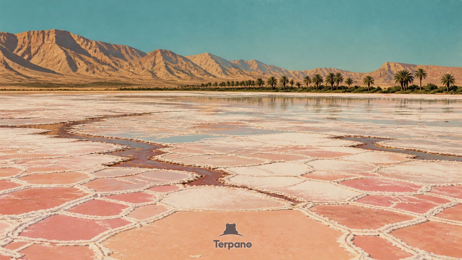
Salt Polygons in a Saharan Chott is an original illustration set in Chott El Jerid, Tunisia. It lies in the subtropics, where the climate is hot desert — evaporation far outruns rainfall.
A vast flat depression stretches from white and rose salt polygons to a thin mirror of shallow brine, crossed by darker mineral seams. Heat haze lifts above the crust, low barren mountains rim the north, and a distant line of date palms marks an oasis fed beyond the empty basin.
Why does this flat basin alternate between brine mirrors and salt polygons?
Water carrying dissolved salts occasionally spreads into this closed depression but has no outlet, so intense Saharan evaporation concentrates brine and leaves a cracking crystalline crust. Repeated wetting and drying organize the surface into polygons and colored mineral bands, while fossil groundwater supports oases only at the margin. The enclosed basin, transient sheen, salt geometry, and abrupt palms define a northern Saharan chott.
Terpano is a free daily geography puzzle. You study one original illustration, place a pin on a borderless terrain map, and see how close you were. There is no account and no sign-up; progress stays in your own browser. It plays in 11 languages.
Part of Land seen from above — From height, the reason for a pattern is often more visible than it is on the ground.
Play this puzzle Play today's puzzleMore puzzles in a similar climate
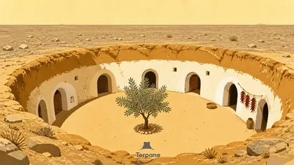 Sunken Courtyard DwellingsSouthern Tunisia
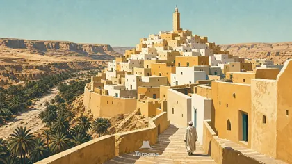 Concentric Desert KsarGhardaïa, M'Zab Valley, Algeria
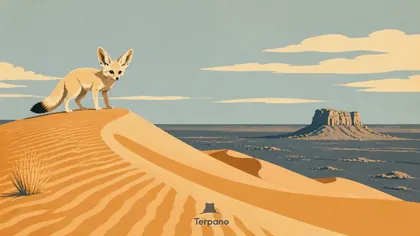 Fennec Fox among Saharan DunesCentral Algerian Sahara
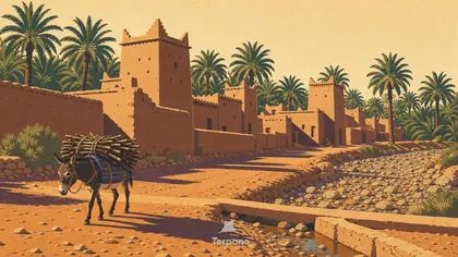 Draa Valley, MoroccoDraa Valley, Morocco
English · Deutsch · Español · Français · Italiano · Português · Русский · 简体中文 · 繁體中文 · 日本語 · 한국어