
Contour-Wrapped Rice Terraces
Yuanyang, Yunnan, China
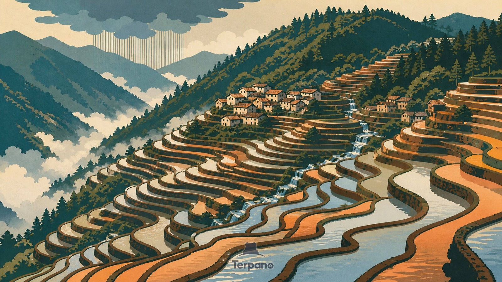
Contour-Wrapped Rice Terraces is an original illustration set in Yuanyang, Yunnan, China. It lies in the tropics, where the climate is monsoon-influenced humid subtropical — dry winters.
Thousands of narrow flooded terraces curve around steep mountain folds, reflecting copper, silver, and pale blue sky between dark earthen rims. Small forest patches crown upper slopes, compact villages sit on stable spurs, and mist settles into deep valleys while water steps downward through the entire patterned hillside.
Why do flooded rice terraces wrap every contour of these steep mountains?
Because steep terrain leaves little level land, generations of farmers built retaining walls along contour lines to create shallow beds that hold both soil and irrigation water. Forested summits capture cloud and rainfall, villages occupy the middle zone, and gravity carries water through terraces below. This linked forest-village-field-water system explains the dense curved pattern rather than treating it as decorative geometry.
Terpano is a free daily geography puzzle. You study one original illustration, place a pin on a borderless terrain map, and see how close you were. There is no account and no sign-up; progress stays in your own browser. It plays in 11 languages.
Part of Land seen from above — From height, the reason for a pattern is often more visible than it is on the ground.
Play this puzzle Play today's puzzleMore puzzles in a similar climate
 Stone Forest PillarsSouthwest China Karst Plateau
 Tube Houses & Wire FallsHanoi, Vietnam
 Floating Garden StripsInle Lake, Shan State, Myanmar
 Harbor Towers beneath a Green PeakVictoria Harbour, Hong Kong
English · Deutsch · Español · Français · Italiano · Português · Русский · 简体中文 · 繁體中文 · 日本語 · 한국어