
Green Belt Meets Desert
Upper Nile Valley, Egypt
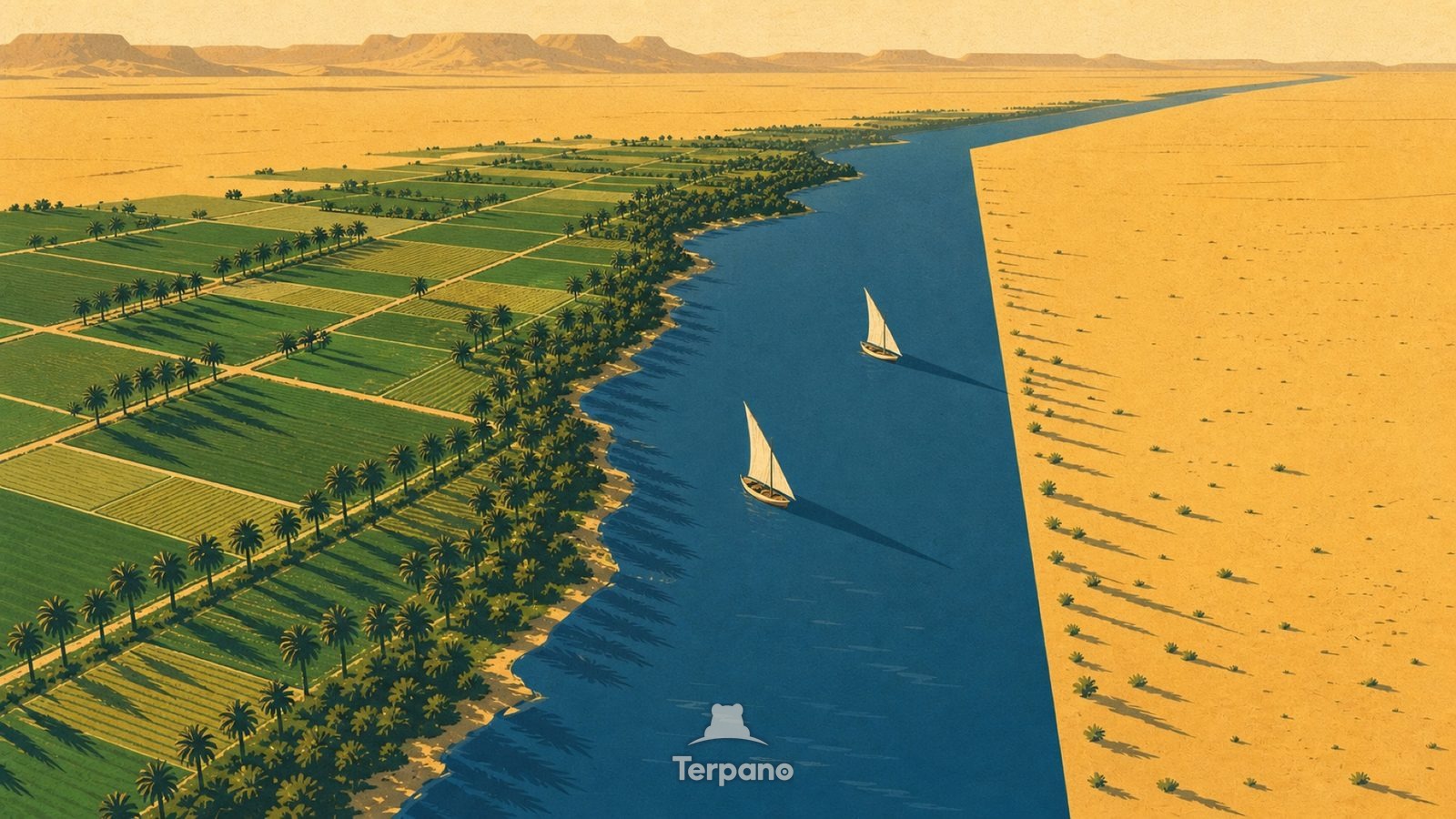
Green Belt Meets Desert is an original illustration set in Upper Nile Valley, Egypt. It lies in the subtropics, where the climate is hot desert — evaporation far outruns rainfall.
A lush green cultivated ribbon meets empty yellow desert along a razor-straight line, seen from high above. Date-palm rows and small wheat plots quilt the green. A silver river channel runs down its centre, and low desert cliffs edge the frame.
Why does the green stop in a hard line against the desert?
The line is where irrigation stops, and it is that sharp because the only water is the river — a metre beyond the last canal, nothing grows. A river flowing through absolute desert without gaining tributaries means it is fed by rain falling thousands of kilometres upstream. Every field in the frame is inside the reach of lifted water.
Terpano is a free daily geography puzzle. You study one original illustration, place a pin on a borderless terrain map, and see how close you were. There is no account and no sign-up; progress stays in your own browser. It plays in 11 languages.
Part of Land seen from above — From height, the reason for a pattern is often more visible than it is on the ground.
Play this puzzle Play today's puzzleMore puzzles in a similar climate
 Salt Crystal ShoreDead Sea Shore, Jordan
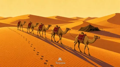 Central ArabiaCentral Arabia
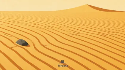 Wind Ripple SeaRub al Khali Sand Sea
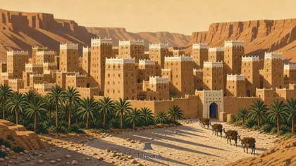 Mudbrick Tower CityHadhramaut, Yemen
English · Deutsch · Español · Français · Italiano · Português · Русский · 简体中文 · 繁體中文 · 日本語 · 한국어