
Striped Woodland on a Sahel Plateau
Kouré Plateau, Tillabéri, Niger
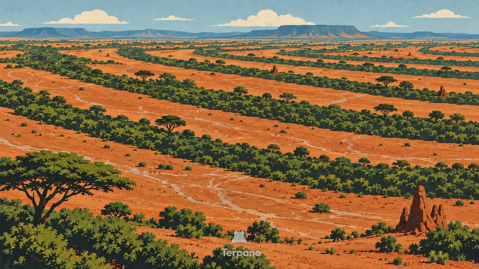
Striped Woodland on a Sahel Plateau is an original illustration set in Kouré Plateau, Tillabéri, Niger. It lies in the tropics, where the climate is hot semi-arid steppe.
Alternating dark bands of dense shrubs and pale bare ground curve across a broad iron-crusted plateau like contour lines. The vegetated strips run across the almost invisible slope, their uphill edges greener after a storm, while thin sheets of muddy runoff cross the open gaps and collect beneath acacias and combretum bushes.
Why does dry woodland grow in long stripes across a gentle slope?
Hard surface crusts shed much of a short Sahel rain from the bare interbands, and the gentle slope carries that sheet flow into denser vegetation downslope. Roots, litter, and termite activity increase infiltration inside each band, allowing shrubs to survive on several times the water that falls directly there; the vegetation then slows more runoff and reinforces the pattern. Repeated contour-parallel stripes on a lateritic plateau are the self-organized tiger bush of western Niger.
Terpano is a free daily geography puzzle. You study one original illustration, place a pin on a borderless terrain map, and see how close you were. There is no account and no sign-up; progress stays in your own browser. It plays in 11 languages.
Part of Land seen from above — From height, the reason for a pattern is often more visible than it is on the ground.
Play this puzzle Play today's puzzleMore puzzles in a similar climate
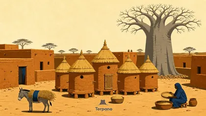 Sahel, Burkina FasoSahel, Burkina Faso
 Kuri Cattle among Lake Chad's Reed IslandsSouthern Lake Chad
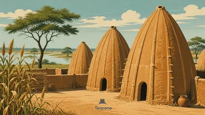 Ribbed Earthen Shell HousesPouss, Far North Cameroon
 Breeze-Block Office FacadeDakar Peninsula, Senegal
English · Deutsch · Español · Français · Italiano · Português · Русский · 简体中文 · 繁體中文 · 日本語 · 한국어