
Wind-Carved Loess Gullies
Chinese Loess Plateau
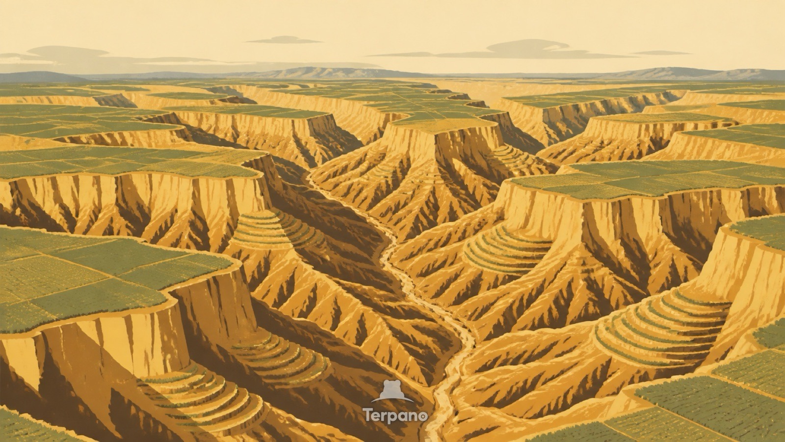
Wind-Carved Loess Gullies is an original illustration set in Chinese Loess Plateau. It lies in mid-latitudes, where the climate is cold semi-arid steppe.
Thick uniform yellow walls stand almost vertical where a dense branching network of gullies has cut down through them. Flat cultivated tops survive above the ravines, with narrow terrace strips following some slopes. The material looks identical from top to bottom.
Why does this soft soil stand in vertical walls?
Loess is wind-blown silt, deposited grain by grain over tens of thousands of years, and it is unusual in holding a vertical face while being soft enough to dig with a spade. That combination is why the gullies are steep-sided and why they branch so densely once water starts working. Terracing on the slopes and cultivation on the flat tops show people farming the same deposit that is washing away beneath them.
Terpano is a free daily geography puzzle. You study one original illustration, place a pin on a borderless terrain map, and see how close you were. There is no account and no sign-up; progress stays in your own browser. It plays in 11 languages.
Part of Shaped by wind — Wind leaves a directional signature, and the shape tells you how many directions it comes from.
Play this puzzle Play today's puzzleMore puzzles in a similar climate
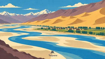 Climbing Dunes beside a Braided Plateau RiverMiddle Yarlung Tsangpo Valley, Tibet, China
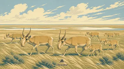 Saiga Herd on Open SteppeBetpak-Dala Steppe, Kazakhstan
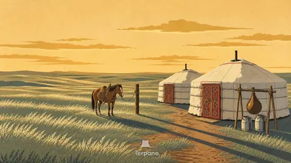 Kazakh SteppeKazakh Steppe
 Fairy Chimney ValleyCentral Anatolian Plateau
English · Deutsch · Español · Français · Italiano · Português · Русский · 简体中文 · 繁體中文 · 日本語 · 한국어