
Fairy Chimney Valley
Central Anatolian Plateau
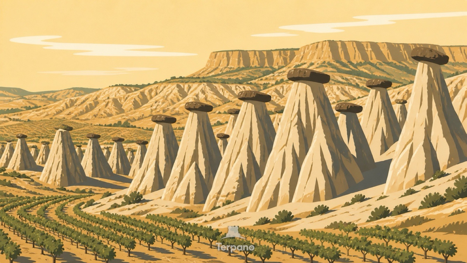
Fairy Chimney Valley is an original illustration set in Central Anatolian Plateau. It lies in mid-latitudes, where the climate is cold semi-arid steppe.
Tall pale conical pinnacles rise from a dry valley, several capped by a dark flat boulder. Fluted rain grooves run down their soft sides. Small dry vineyard rows thread between the formations, and a broad flat volcanic plateau closes the distance under crisp morning light.
Why does each rock spire have a hard cap on top?
Each capstone is the reason its cone exists: a hard block shelters the soft volcanic tuff beneath it while everything around washes away. The fluting shows the erosion is rainfall, not wind. Tuff means an explosive eruption laid down deep ash that later welded. Vines growing in it place the climate in a cold semi-arid interior — hot dry summers, hard winters, just enough rain.
Terpano is a free daily geography puzzle. You study one original illustration, place a pin on a borderless terrain map, and see how close you were. There is no account and no sign-up; progress stays in your own browser. It plays in 11 languages.
Part of What the rock records — Rock keeps the longest memory in the frame, and it fails in shapes you can learn.
Play this puzzle Play today's puzzleMore puzzles in a similar climate
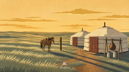 Kazakh SteppeKazakh Steppe
 Coffee Terraces beneath a Cliff VillageAl Hajjara, Haraz Mountains, Yemen
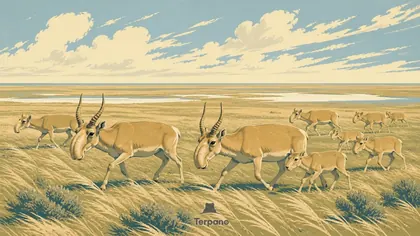 Saiga Herd on Open SteppeBetpak-Dala Steppe, Kazakhstan
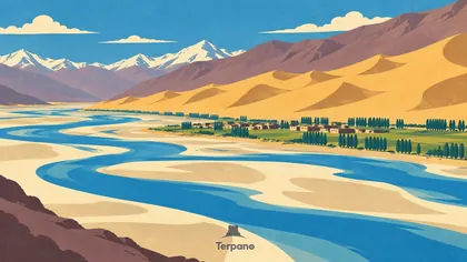 Climbing Dunes beside a Braided Plateau RiverMiddle Yarlung Tsangpo Valley, Tibet, China
English · Deutsch · Español · Français · Italiano · Português · Русский · 简体中文 · 繁體中文 · 日本語 · 한국어