
Yardang Corridor
Eastern Tarim Basin, China
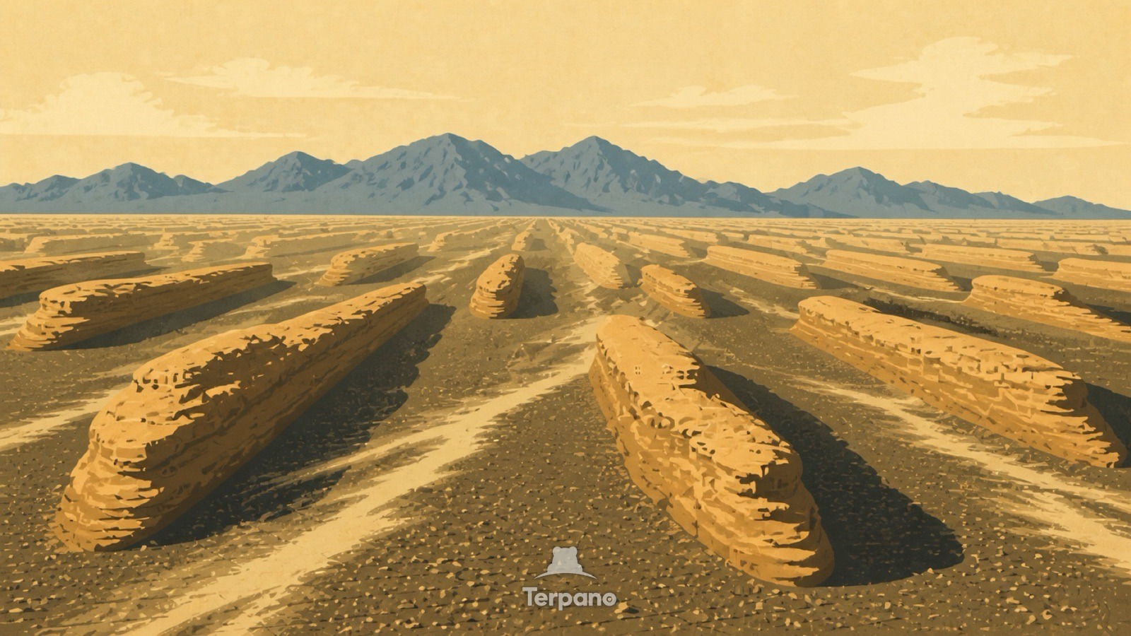
Yardang Corridor is an original illustration set in Eastern Tarim Basin, China. It lies in mid-latitudes, where the climate is cold desert — arid, with freezing winters.
Long boat-shaped ridges run parallel across the desert, all aligned the same way, with blunt ends facing one direction and tapered tails the other. Flat gravel corridors separate every ridge, and fine dust streamers drift along them. The air is cold and the light is flat.
Why are these ridges all streamlined the same way?
Yardangs are carved by wind that blows from one quarter for centuries: sand-laden air scours the soft rock, undercutting the windward end and streamlining the rest. The whole field is therefore a compass — the blunt ends point upwind. Corridors floored with gravel rather than sand show the fine material has been removed entirely, which takes both time and persistent one-directional wind.
Terpano is a free daily geography puzzle. You study one original illustration, place a pin on a borderless terrain map, and see how close you were. There is no account and no sign-up; progress stays in your own browser. It plays in 11 languages.
Part of Shaped by wind — Wind leaves a directional signature, and the shape tells you how many directions it comes from.
Play this puzzle Play today's puzzleMore puzzles in a similar climate
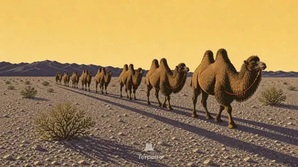 Gobi Desert, MongoliaGobi Desert, Mongolia
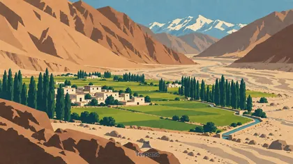 A Green Barley Oasis in a High Cold DesertIndus Valley, Ladakh, India
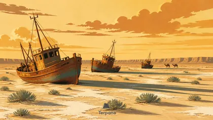 Dry Sea ShipwrecksAral Region, Uzbekistan
 Dune-Buried Coastal RoadNamibian Atlantic Coast
English · Deutsch · Español · Français · Italiano · Português · Русский · 简体中文 · 繁體中文 · 日本語 · 한국어