
Tidal Channels at Low Water
Danish Wadden Sea, Denmark
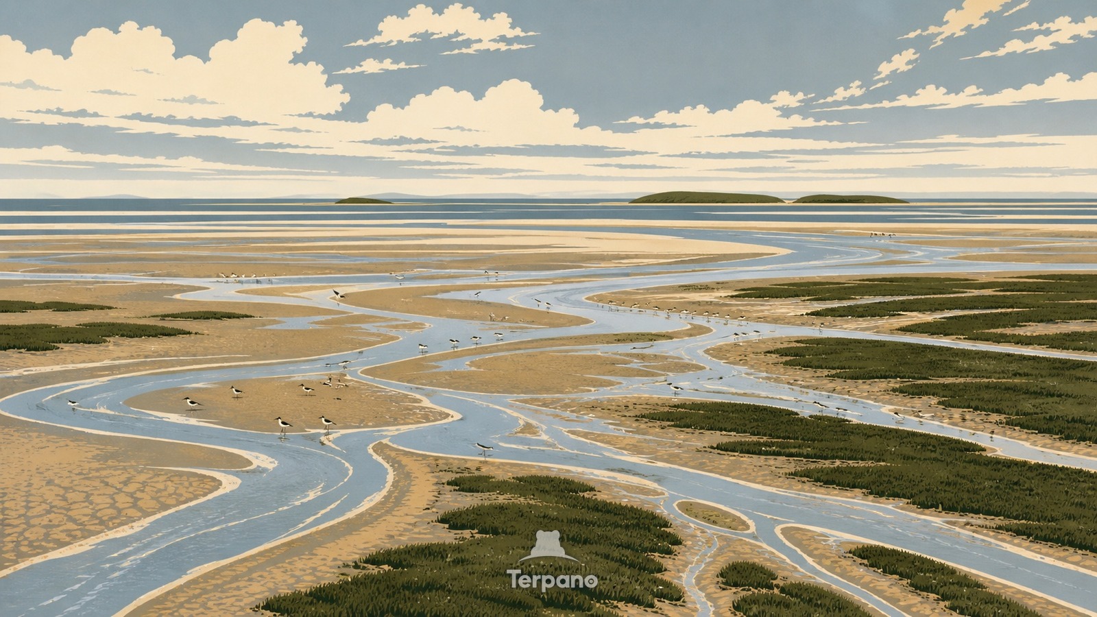
Tidal Channels at Low Water is an original illustration set in Danish Wadden Sea, Denmark. It lies in high latitudes, where the climate is oceanic — mild, wet through the year.
An expansive low-tide coast fills the frame with silver-blue channels branching through tan mudflats and dark green salt marsh. Long sandbars sit nearly level with the horizon, scattered shorebirds trace the waterline, and a muted North Sea sky reinforces the enormous horizontal scale of the intertidal landscape.
Why does low tide reveal branching channels across this flat coast?
Because this shallow barrier coast has a large tidal exchange but very little relief, water must drain through a dense network of channels as the sea retreats. Repeated flooding sorts sand and mud, while salt-tolerant plants stabilize the higher margins and leave the lower flats bare. The resulting braided geometry changes every few hours, making the exposed channels, shoals, marsh edges, and distant barrier islands diagnostic of the Wadden Sea.
Terpano is a free daily geography puzzle. You study one original illustration, place a pin on a borderless terrain map, and see how close you were. There is no account and no sign-up; progress stays in your own browser. It plays in 11 languages.
Part of Ice, tide, river and salt — Water leaves marks at a scale you can measure by eye.
Play this puzzle Play today's puzzleMore puzzles in a similar climate
 Sand Fence DuneNorth Sea Dune Coast
 Tulip Strip PoldersNorth Holland, Netherlands
 Narrow Canal House RowAmsterdam Canal District, Netherlands
 Half-Timbered SquareFranconia, Germany
English · Deutsch · Español · Français · Italiano · Português · Русский · 简体中文 · 繁體中文 · 日本語 · 한국어