
Seaweed Farm Grid
Nusa Islands, Indonesia
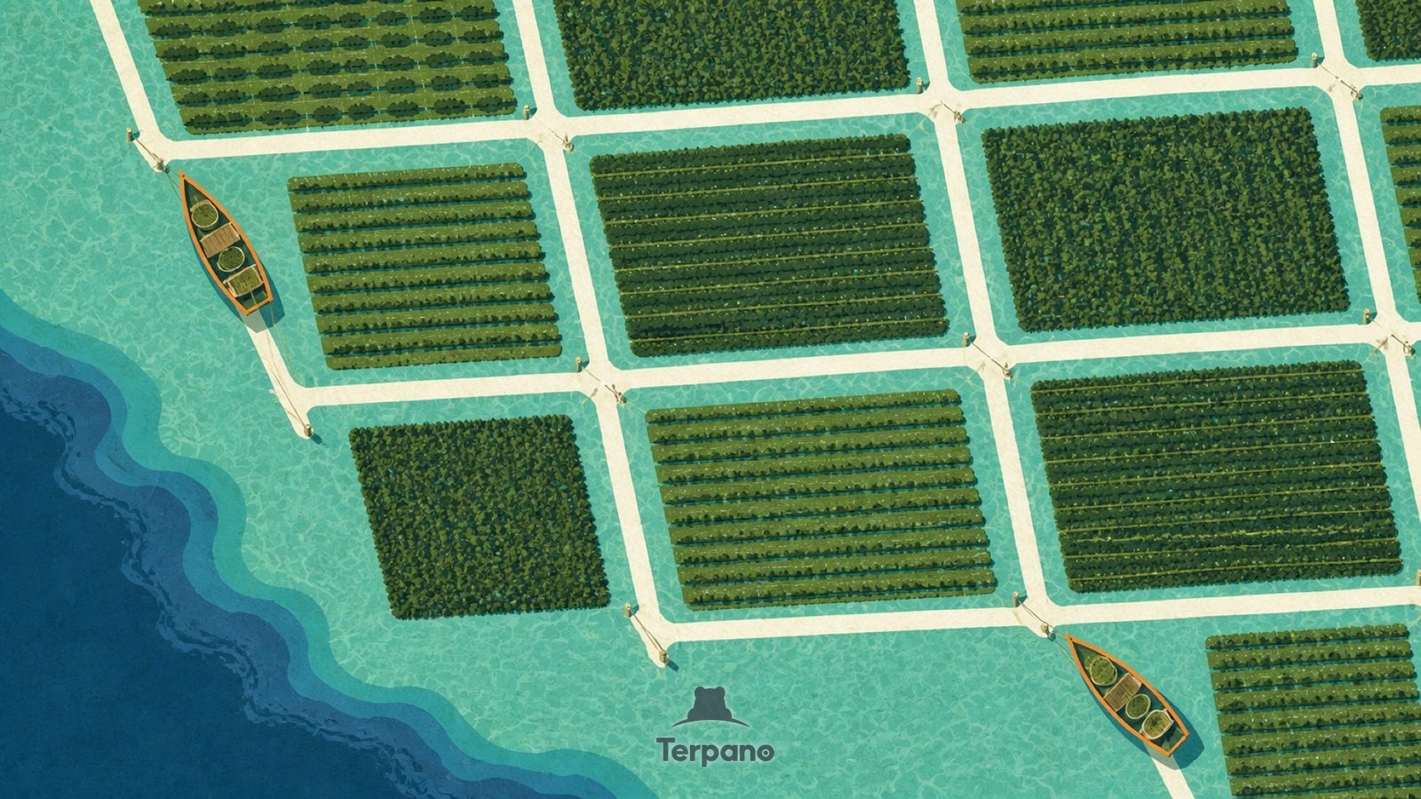
Seaweed Farm Grid is an original illustration set in Nusa Islands, Indonesia. It lies in equatorial latitudes, where the climate is tropical savanna — a pronounced dry season.
A tidy grid of rectangular seaweed plots forms dark green blocks in turquoise shallows, seen straight down. Bright white-sand channels net between them. Small stakes and lines mark the plot corners, and the tropical noon light is flat and hard.
Why does the seaweed grid stop where the water deepens?
The plots are rope lines staked to the seabed at a depth that stays submerged at low tide but shallow enough to wade — which is why the grid follows the sand flats and stops where the water deepens. Farming a crop with no soil, no fresh water and no inputs works only in warm, clear, sheltered tropical shallows.
Terpano is a free daily geography puzzle. You study one original illustration, place a pin on a borderless terrain map, and see how close you were. There is no account and no sign-up; progress stays in your own browser. It plays in 11 languages.
Part of Land seen from above — From height, the reason for a pattern is often more visible than it is on the ground.
Play this puzzle Play today's puzzleMore puzzles in a similar climate
 Mekong Delta, VietnamMekong Delta, Vietnam
 Central Sri LankaCentral Sri Lanka
 Delta Braid NetworkGanges Delta, Bangladesh
 Mangrove ChannelsSundarbans Delta, Bangladesh
English · Deutsch · Español · Français · Italiano · Português · Русский · 简体中文 · 繁體中文 · 日本語 · 한국어