
Delta Braid Network
Ganges Delta, Bangladesh
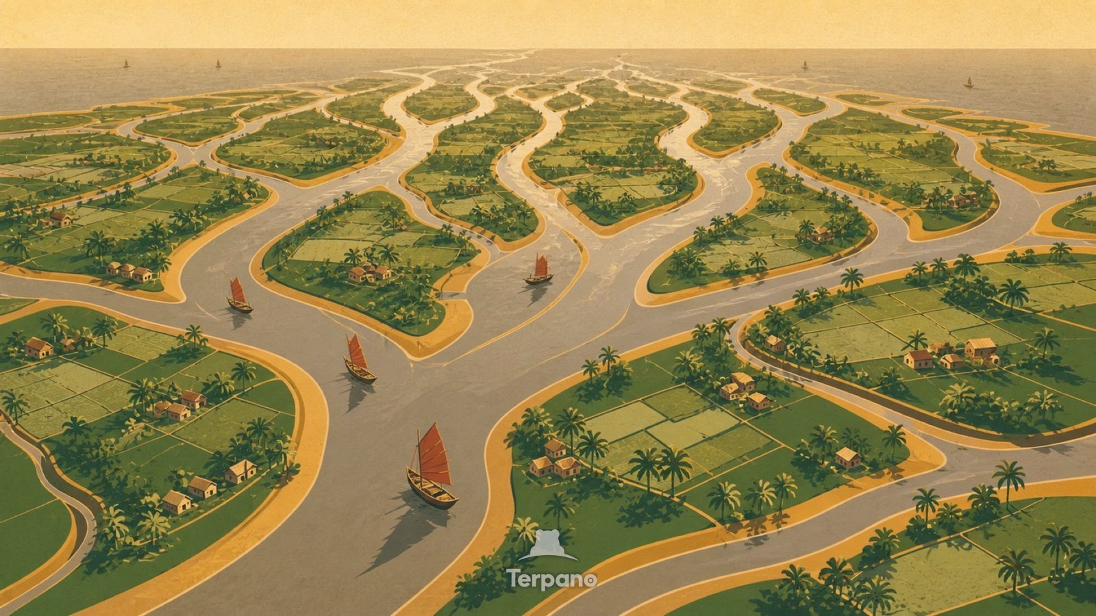
Delta Braid Network is an original illustration set in Ganges Delta, Bangladesh. It lies in the tropics, where the climate is tropical savanna — a pronounced dry season.
A branching web of silver-brown tidal channels forks toward the sea, seen from high above. Green islands between them are quilted with tiny paddy plots and dotted hamlets. Sediment plumes fan out where the channels meet open water.
Why does a river split into many mouths at the sea?
A river splitting repeatedly instead of running to one mouth means it is depositing faster than it can cut — the classic sign of a river losing energy as it meets the sea. The brown is suspended sediment from a mountain range far upstream. Field plots that small mean intense hand cultivation on land that is fertile precisely because it floods.
Terpano is a free daily geography puzzle. You study one original illustration, place a pin on a borderless terrain map, and see how close you were. There is no account and no sign-up; progress stays in your own browser. It plays in 11 languages.
Part of Land seen from above — From height, the reason for a pattern is often more visible than it is on the ground.
Play this puzzle Play today's puzzleMore puzzles in a similar climate
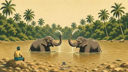 Central Sri LankaCentral Sri Lanka
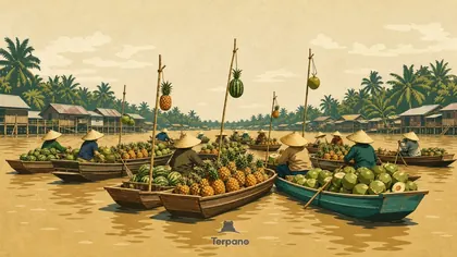 Mekong Delta, VietnamMekong Delta, Vietnam
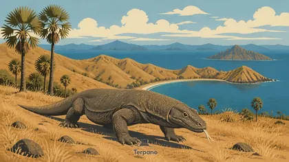 Komodo Dragon in Dry SavannaKomodo Island, Indonesia
 Giant Tortoises on Raised CoralAldabra Atoll, Seychelles
English · Deutsch · Español · Français · Italiano · Português · Русский · 简体中文 · 繁體中文 · 日本語 · 한국어