
Tundra Polygon Net
North Slope, Alaska
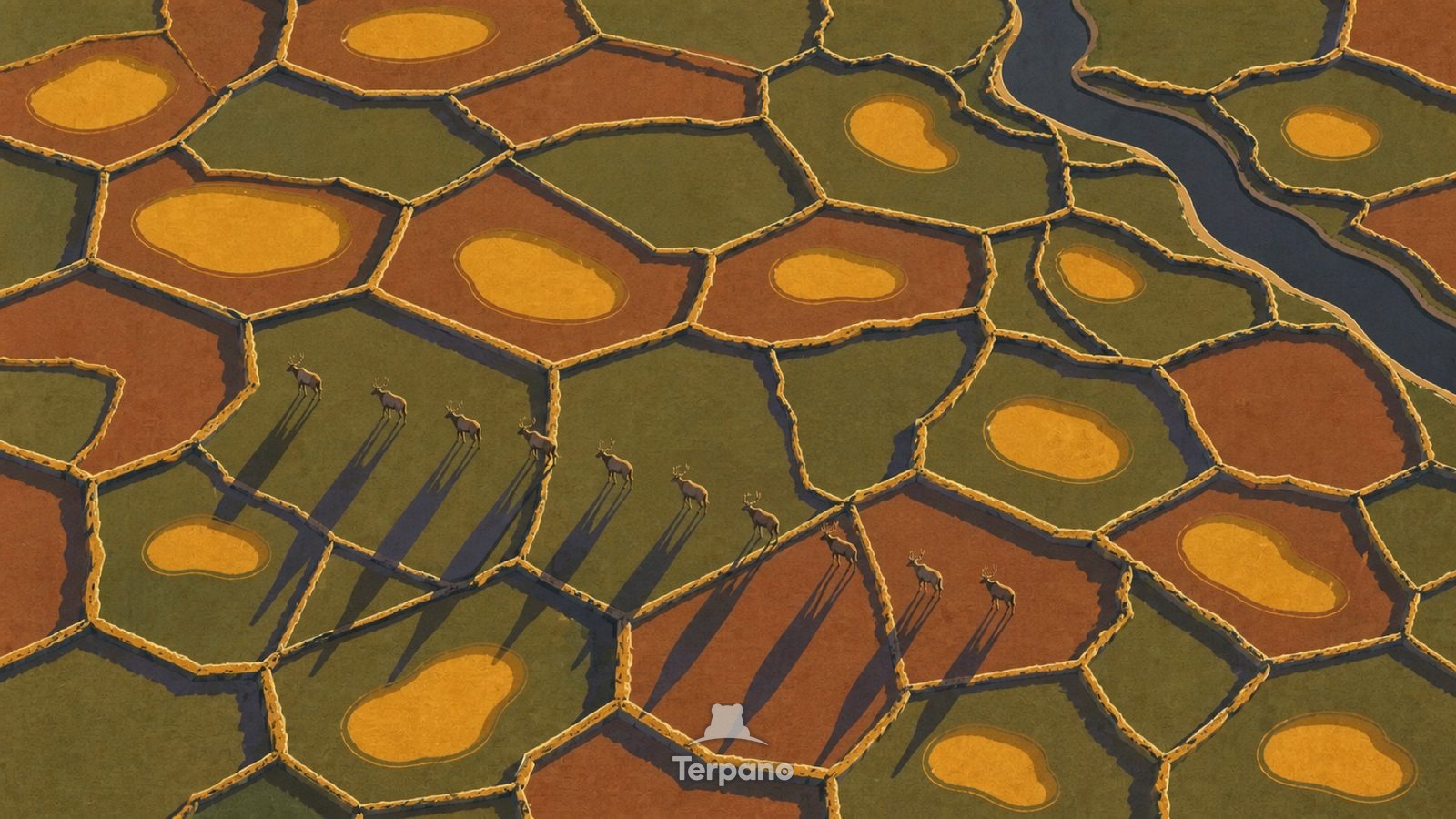
Tundra Polygon Net is an original illustration set in North Slope, Alaska. It lies in the polar circle, where the climate is tundra — too cold for trees.
A continuous net of frost-crack polygons ridges the tundra, seen straight down. Amber meltwater ponds glow in the polygon centres. A small line of caribou crosses one corner, and the light is low and gold at eleven at night.
Why does frozen ground crack into polygons?
Ground that freezes hard contracts and cracks, water fills the cracks and freezes into wedges, and each cycle widens them — over centuries the wedges push up ridges and the pattern tiles the whole landscape. It only forms over permafrost. Ponds sitting in the centres show the active layer thaws each summer but cannot drain downward.
Terpano is a free daily geography puzzle. You study one original illustration, place a pin on a borderless terrain map, and see how close you were. There is no account and no sign-up; progress stays in your own browser. It plays in 11 languages.
Part of Land seen from above — From height, the reason for a pattern is often more visible than it is on the ground.
Play this puzzle Play today's puzzleMore puzzles in a similar climate
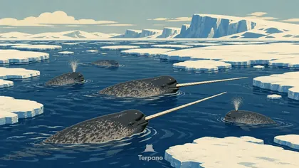 Narwhals at the Sea-Ice EdgeBaffin Bay, Canadian Arctic
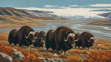 Musk Oxen on Arctic TundraKangerlussuaq Tundra, Greenland
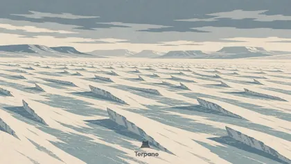 Sastrugi Snow PlainIcelandic Interior Plateau
 South Georgia, SubantarcticSouth Georgia, Subantarctic
English · Deutsch · Español · Français · Italiano · Português · Русский · 简体中文 · 繁體中文 · 日本語 · 한국어