
Mont-Saint-Michel across the Tidal Flats
Mont-Saint-Michel Bay, Normandy, France
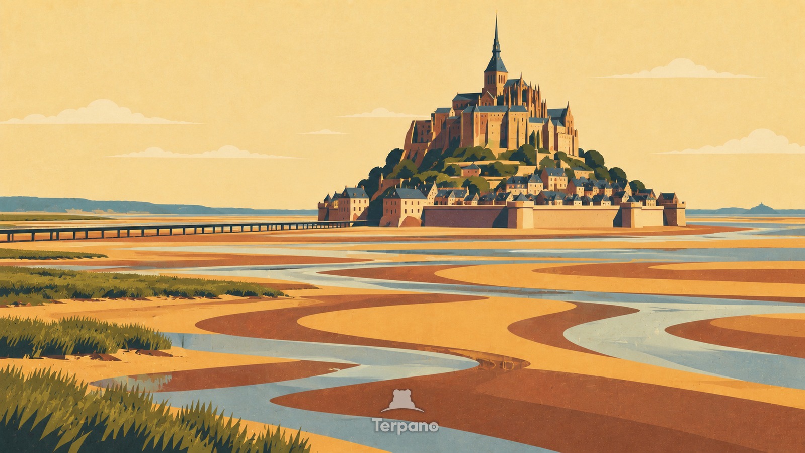
Mont-Saint-Michel across the Tidal Flats is an original illustration set in Mont-Saint-Michel Bay, Normandy, France. It lies in mid-latitudes, where the climate is oceanic — mild, wet through the year.
Mont-Saint-Michel rises as a steep pyramidal mass from a lone rocky islet, with dark defensive walls below clustered slate roofs and a tall abbey spire. Braided silver tidal channels wind across vast ochre-gray sand flats, salt-marsh grass occupies the near edge, and a narrow raised causeway approaches without hiding the island's isolated silhouette.
Why does a walled abbey become an island when the tide crosses broad sand flats?
A resistant rock outcrop survived erosion while the surrounding bay accumulated mobile sand and mud under one of Europe's strongest tidal regimes. Monastic buildings had to stack upward on the limited summit, with the village and walls compressed around the lower slopes. At low tide branching channels expose the sediment plain; at high tide water reconnects them and surrounds the rock, so the vertical architecture and changing island status both arise from scarce land inside an exceptionally dynamic bay.
Terpano is a free daily geography puzzle. You study one original illustration, place a pin on a borderless terrain map, and see how close you were. There is no account and no sign-up; progress stays in your own browser. It plays in 11 languages.
Part of Ice, tide, river and salt — Water leaves marks at a scale you can measure by eye.
Play this puzzle Play today's puzzleMore puzzles in a similar climate
 Granite Tor MoorlandSouthwest England Uplands
 Stonehenge on Salisbury PlainStonehenge, Wiltshire, England
 Twin Towers across the ThamesTower Bridge, London, United Kingdom
 Northern EnglandNorthern England
English · Deutsch · Español · Français · Italiano · Português · Русский · 简体中文 · 繁體中文 · 日本語 · 한국어