
Rice Fields Below the Canals
Kuttanad, Kerala, India
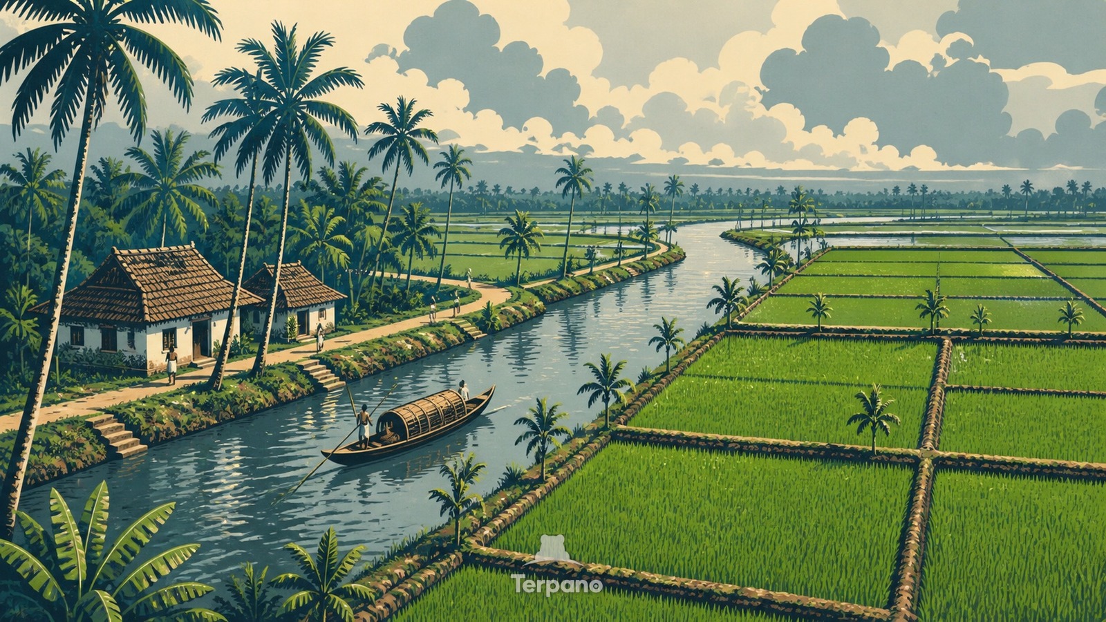
Rice Fields Below the Canals is an original illustration set in Kuttanad, Kerala, India. It lies in equatorial latitudes, where the climate is tropical monsoon — a short drier season inside a wet year.
Broad emerald rice plots lie slightly below a web of reflective canals, enclosed by narrow earthen bunds topped with palms and footpaths. A long wooden boat moves past small houses on the raised bank, while humid monsoon clouds soften the horizon and emphasize the engineered flatness of the lowland.
Why do earthen bunds hold rice fields below surrounding canals?
Because much of Kuttanad lies at or below sea level, farmers first enclose low tracts with bunds and then control or pump water so rice can grow on reclaimed wet ground. Canals remain higher transport and drainage corridors, while homes and palms occupy the safer raised edges. The visible height difference between water, embankments, and intensely green paddies reveals a landscape created by coordinated water management in monsoon Kerala.
Terpano is a free daily geography puzzle. You study one original illustration, place a pin on a borderless terrain map, and see how close you were. There is no account and no sign-up; progress stays in your own browser. It plays in 11 languages.
Part of Working landscapes — A working landscape shows you what the land can be made to yield, and at what cost.
Play this puzzle Play today's puzzleMore puzzles in a similar climate
 Coastal Train below a Cloudy PassHai Van Pass, Vietnam
 Rice Terraces beneath a Smoking Javan VolcanoKedu Plain, Central Java, Indonesia
 Luzon Cordillera, PhilippinesLuzon Cordillera, Philippines
 A Perfect Cone above Coconut Groves and RiceMayon Region, Luzon, Philippines
English · Deutsch · Español · Français · Italiano · Português · Русский · 简体中文 · 繁體中文 · 日本語 · 한국어