
A Glacier above Equatorial Farms
Avenue of the Volcanoes, Ecuador
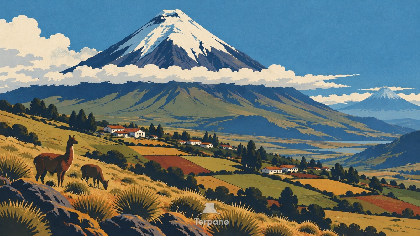
A Glacier above Equatorial Farms is an original illustration set in Avenue of the Volcanoes, Ecuador. It lies in equatorial latitudes, where the climate is oceanic — mild, wet through the year.
A massive symmetrical Andean cone rises behind a high intermontane basin, with a brilliant ice cap above a belt of cloud. Small rectangular fields, hedges, grazing plots, and clustered farmsteads climb unusually high on the lower slopes beneath dark volcanic ridges.
Why do patchwork farms climb toward a glacier almost directly on the equator?
Near the equator, intense year-round sunlight would normally suggest warmth, but temperature falls rapidly with altitude. Ecuador's high Andes therefore stack cultivated valleys, cool páramo, bare volcanic ground, and tropical ice within one view. The equatorial latitude, glacier-capped cone, and densely farmed high basin together point to the Avenue of the Volcanoes rather than a high-latitude mountain range.
Terpano is a free daily geography puzzle. You study one original illustration, place a pin on a borderless terrain map, and see how close you were. There is no account and no sign-up; progress stays in your own browser. It plays in 11 languages.
Part of What the rock records — Rock keeps the longest memory in the frame, and it fails in shapes you can learn.
Play this puzzle Play today's puzzleMore puzzles in a similar climate
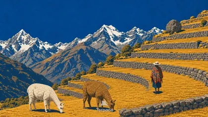 Sacred Valley, PeruSacred Valley, Peru
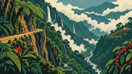 Cloud Forest on the Andean EscarpmentYungas of Bolivia
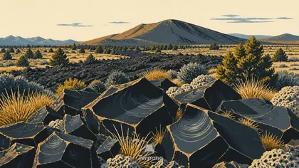 Obsidian Flow FieldCentral Mexican Volcanic Belt
 Monarchs in the Oyamel ForestMichoacan Highlands, Mexico
English · Deutsch · Español · Français · Italiano · Português · Русский · 简体中文 · 繁體中文 · 日本語 · 한국어