
Tufa Tower Shore
Eastern California Basin
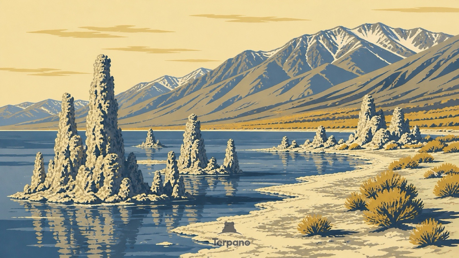
Tufa Tower Shore is an original illustration set in Eastern California Basin. It lies in mid-latitudes, where the climate is cold desert — arid, with freezing winters.
Irregular porous cream-grey towers rise from the shore and out of shallow water. White alkaline crust bands mark where the shoreline used to be. The lake sits mirror-blue and flat, and sparse rabbitbrush grows on gravel. Dry mountains stand far behind under a cold clear sky.
Why do these limestone towers form underwater?
Tufa forms underwater, where calcium-rich springs meet carbonate-rich lake water and precipitate limestone around the vent. So towers standing in open air are not a formation — they are evidence that the lake was once much deeper. The crust bands date the retreat. An alkaline lake with no outlet, ringed by dry mountains, marks a closed basin in a cold high desert.
Terpano is a free daily geography puzzle. You study one original illustration, place a pin on a borderless terrain map, and see how close you were. There is no account and no sign-up; progress stays in your own browser. It plays in 11 languages.
Part of What the rock records — Rock keeps the longest memory in the frame, and it fails in shapes you can learn.
Play this puzzle Play today's puzzleMore puzzles in a similar climate
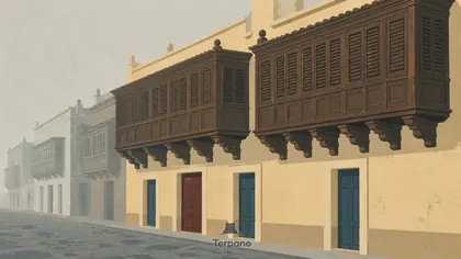 Enclosed Timber BalconiesCoastal Lima, Peru
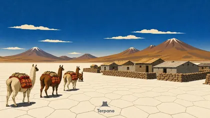 Bolivian AltiplanoBolivian Altiplano
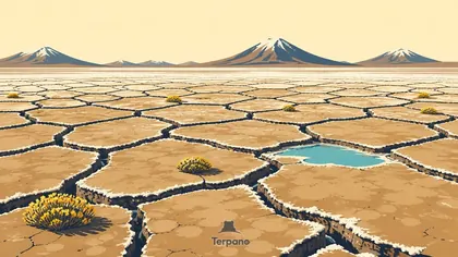 Cracked Clay Salt FlatCentral Altiplano, Bolivia
 Desert Dust DevilAtacama Interior, Chile
English · Deutsch · Español · Français · Italiano · Português · Русский · 简体中文 · 繁體中文 · 日本語 · 한국어