
Irrigation Circles
Kansas High Plains, USA
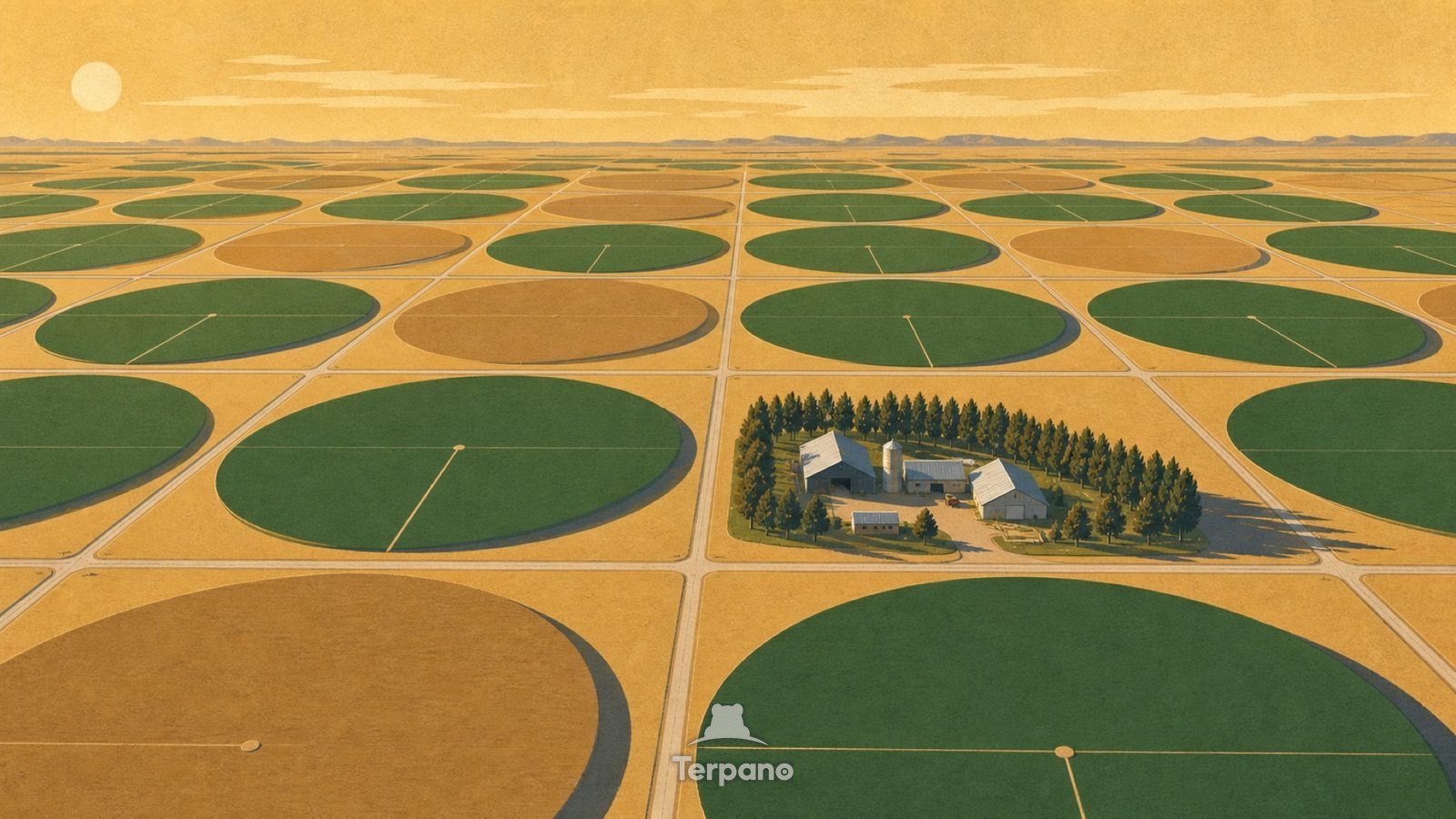
Irrigation Circles is an original illustration set in Kansas High Plains, USA. It lies in mid-latitudes, where the climate is cold semi-arid steppe.
Enormous perfect green and brown circles tile a flat plain to the horizon, seen from high above. A thin straight line crosses each green circle from the centre. The corners between the circles stay dry and pale, and the summer evening light is level.
Why are the irrigated fields perfect circles?
The line is the irrigation arm: it pivots around a central well, so the watered area is necessarily a circle and the square corners stay dry. That geometry appears wherever farming depends on pumped groundwater rather than rain. Circles this size, repeated to the horizon on flat ground, mean a large aquifer being drawn down beneath a semi-arid plain.
Terpano is a free daily geography puzzle. You study one original illustration, place a pin on a borderless terrain map, and see how close you were. There is no account and no sign-up; progress stays in your own browser. It plays in 11 languages.
Part of Land seen from above — From height, the reason for a pattern is often more visible than it is on the ground.
Play this puzzle Play today's puzzleMore puzzles in a similar climate
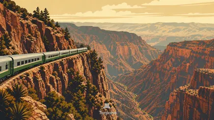 Railway above a Copper-Colored CanyonCopper Canyon, Mexico
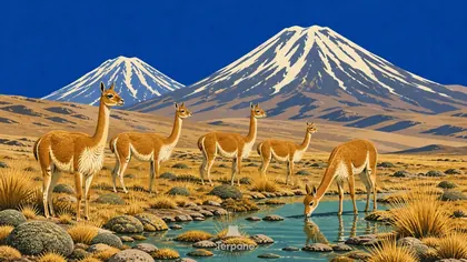 Vicunas on the High AltiplanoLauca Altiplano, Northern Chile
 Painted BadlandsPatagonian Badlands, Argentina
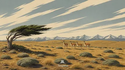 Patagonian Steppe, ArgentinaPatagonian Steppe, Argentina
English · Deutsch · Español · Français · Italiano · Português · Русский · 简体中文 · 繁體中文 · 日本語 · 한국어