
Layered Depths of the Grand Canyon
Grand Canyon South Rim, Arizona, USA
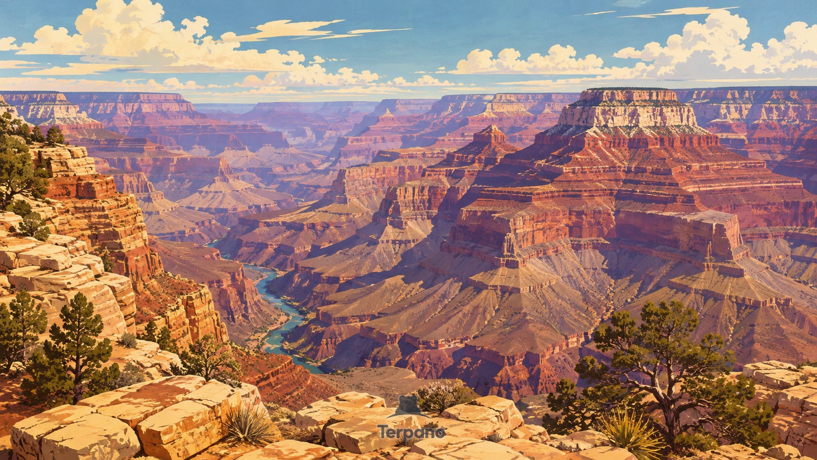
Layered Depths of the Grand Canyon is an original illustration set in Grand Canyon South Rim, Arizona, USA. It lies in mid-latitudes, where the climate is cold semi-arid steppe.
Red and cream rock layers step down from a high plateau into an immense branching canyon. Broad flat-topped buttes repeat across the distance, a small stretch of river lies deep below, and sparse juniper and dry grass cling to the foreground rim.
Why do these immense canyon walls alternate between cliffs and gentler slopes?
The Colorado River cut downward through an uplifted plateau, exposing stacked sedimentary layers. Harder beds hold cliffs while softer beds retreat into slopes, so the same bands repeat across separate buttes and side canyons. Dry conditions leave these rock structures unusually clear; the depth, horizontal layering, and branching erosion identify the Grand Canyon landscape.
Terpano is a free daily geography puzzle. You study one original illustration, place a pin on a borderless terrain map, and see how close you were. There is no account and no sign-up; progress stays in your own browser. It plays in 11 languages.
Part of What the rock records — Rock keeps the longest memory in the frame, and it fails in shapes you can learn.
Play this puzzle Play today's puzzleMore puzzles in a similar climate
 Railway above a Copper-Colored CanyonCopper Canyon, Mexico
 Vicunas on the High AltiplanoLauca Altiplano, Northern Chile
 Painted BadlandsPatagonian Badlands, Argentina
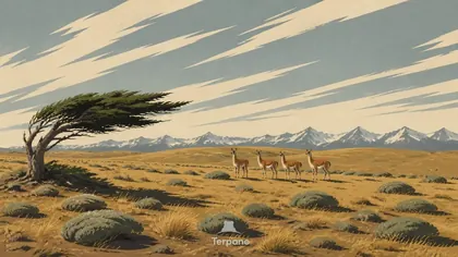 Patagonian Steppe, ArgentinaPatagonian Steppe, Argentina
English · Deutsch · Español · Français · Italiano · Português · Русский · 简体中文 · 繁體中文 · 日本語 · 한국어