
Folded Strata Valley
Zagros Foothills, Iran
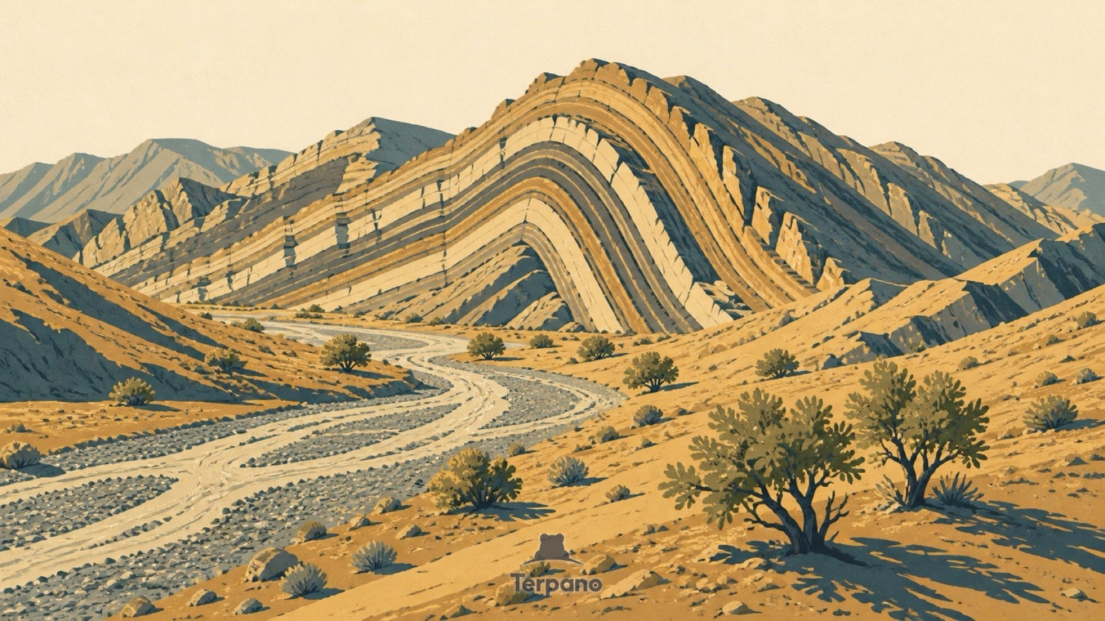
Folded Strata Valley is an original illustration set in Zagros Foothills, Iran. It lies in the subtropics, where the climate is hot semi-arid steppe.
Alternating pale and dark rock layers bend into a giant arch across a bare ridge, the strata continuing coherently right through the fold. A dry braided gravel channel runs along the valley floor. Sparse pistachio scrub clings to the slopes, and nothing softens the geology.
Why does solid rock fold instead of snapping?
Rock only folds like that when it is squeezed slowly while buried deep enough to bend rather than snap — the signature of two continental plates colliding. That the layers stay continuous through the arch shows the deformation, not erosion, made the shape. The braided dry channel means water arrives seasonally and violently. Bare slopes with scattered drought-hardy scrub place it in a hot semi-arid belt.
Terpano is a free daily geography puzzle. You study one original illustration, place a pin on a borderless terrain map, and see how close you were. There is no account and no sign-up; progress stays in your own browser. It plays in 11 languages.
Part of What the rock records — Rock keeps the longest memory in the frame, and it fails in shapes you can learn.
Play this puzzle Play today's puzzleMore puzzles in a similar climate
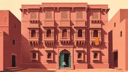 Carved Haveli FacadeJaipur Region, India
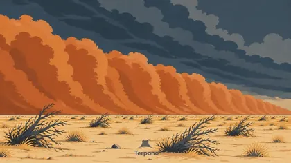 Advancing Dust WallNile-Sahel Transition, Sudan
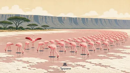 Rift Valley Lakes, KenyaRift Valley Lakes, Kenya
 Kuri Cattle among Lake Chad's Reed IslandsSouthern Lake Chad
English · Deutsch · Español · Français · Italiano · Português · Русский · 简体中文 · 繁體中文 · 日本語 · 한국어