
Basalt Channels across a Wetland
Tae Rak, Budj Bim, Victoria, Australia
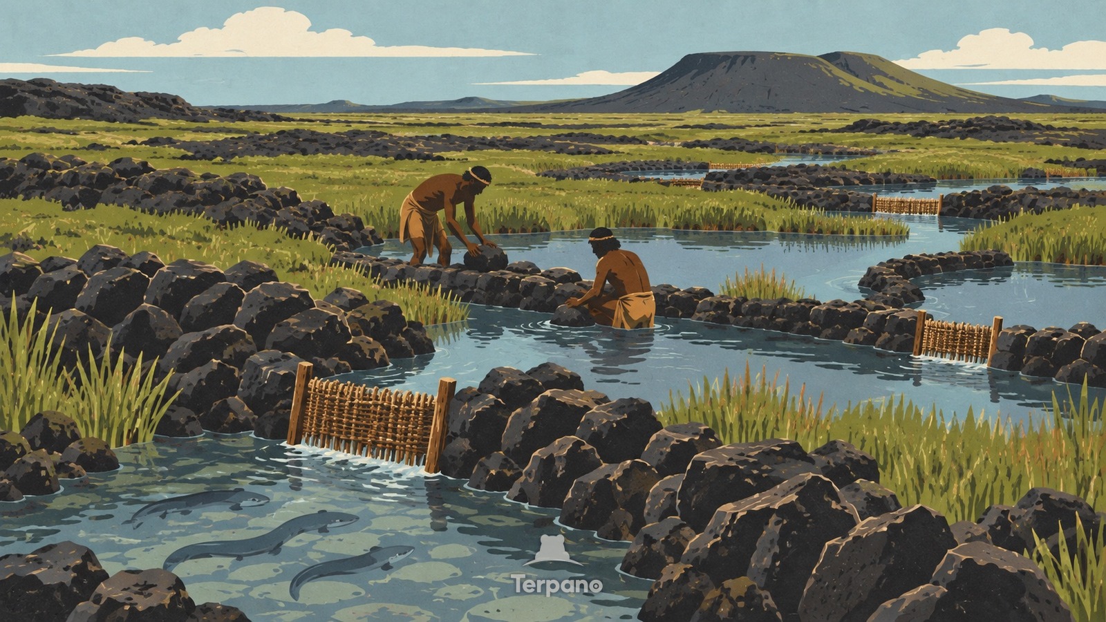
Basalt Channels across a Wetland is an original illustration set in Tae Rak, Budj Bim, Victoria, Australia. It lies in mid-latitudes, where the climate is oceanic — mild, wet through the year.
Dark basalt channels, low weirs, and shallow holding ponds form an interconnected pattern through a grassy wetland beside Tae Rak. Water passes through narrow gaps fitted with woven eel baskets, while scattered lava stones, sedges, and a low wooded rim show that the structures follow an old volcanic flow rather than a modern concrete canal.
Why do low basalt walls funnel wetland water into narrow woven traps?
Gunditjmara engineers used abundant lava rock to redirect seasonal water through channels where migrating kooyang could be trapped, held alive, and harvested at different water levels. Weirs slow and divide the flow, ponds store both water and eels, and constricted passages make woven traps effective without blocking the whole wetland. The union of volcanic stone, freshwater marsh, multi-level channels, and eel-harvest structures belongs to the Budj Bim cultural landscape.
Terpano is a free daily geography puzzle. You study one original illustration, place a pin on a borderless terrain map, and see how close you were. There is no account and no sign-up; progress stays in your own browser. It plays in 11 languages.
Part of Ice, tide, river and salt — Water leaves marks at a scale you can measure by eye.
Play this puzzle Play today's puzzleMore puzzles in a similar climate
 Rainforest Cliffs above Milford SoundMilford Sound / Piopiotahi, New Zealand
 Kakapo in a Mossy Island ForestRakiura, New Zealand
 South Island, New ZealandSouth Island, New Zealand
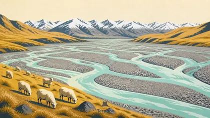 Braided Glacial RiverCanterbury Plains, New Zealand
English · Deutsch · Español · Français · Italiano · Português · Русский · 简体中文 · 繁體中文 · 日本語 · 한국어